London has taken an important step towards a greener, more climate-resilient future with the launch of the Local Nature Recovery Strategy (LNRS) by the Greater London Authority.
The strategy identifies priority habitats and the actions needed to help nature recover across the capital. Rivers and streams are recognised as some of London’s most important habitats, with a particular focus on chalk streams — including the Rivers Cray, Wandle and Hogsmill — alongside other waterways such as Beverley Brook.
For organisations working to restore rivers across London, the strategy provides valuable evidence and mapping to help guide where action can deliver the greatest benefit for wildlife, communities and climate resilience.
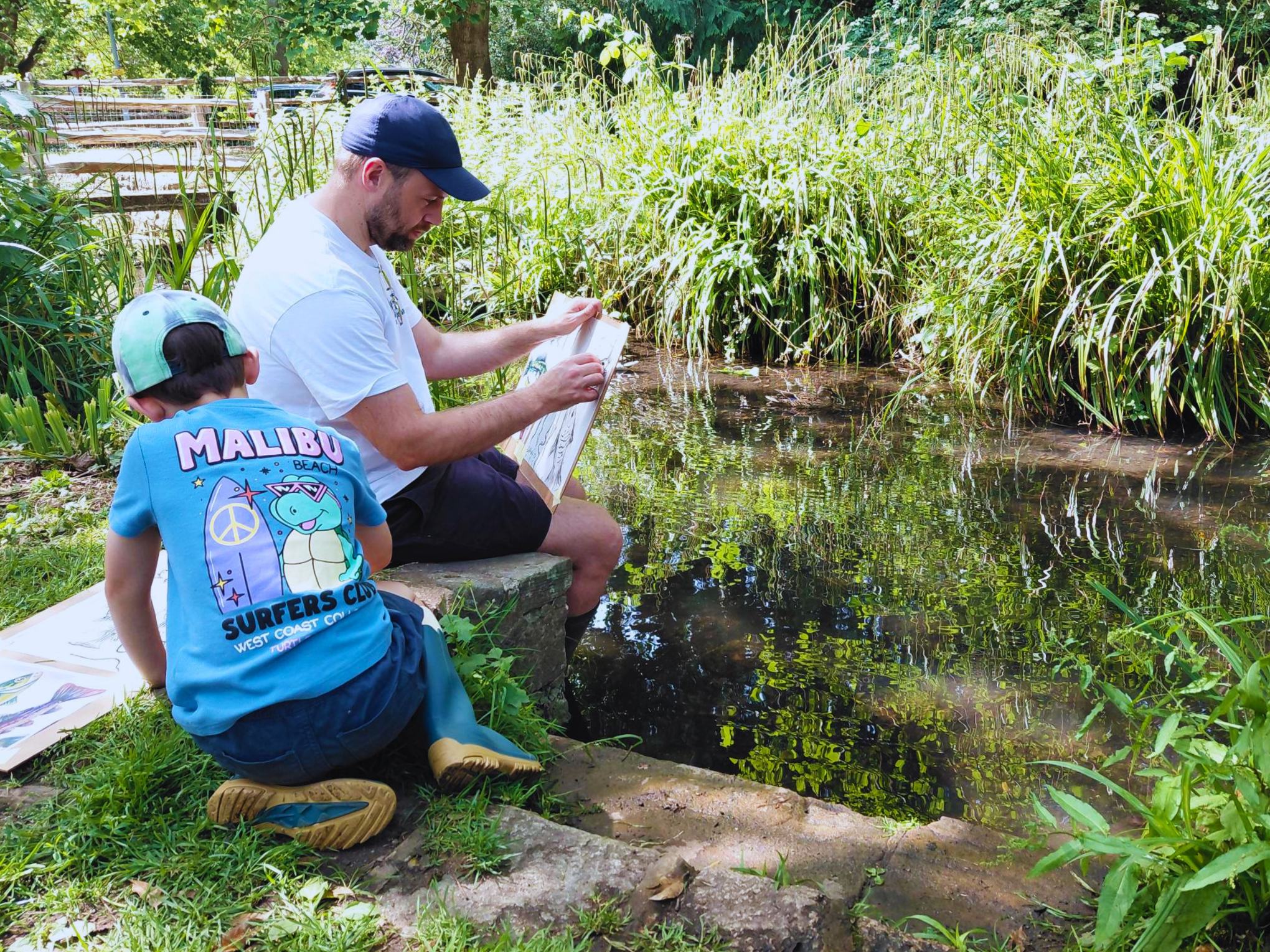
At the South East Rivers Trust, much of our ongoing work already aligns with the priorities identified in the strategy.
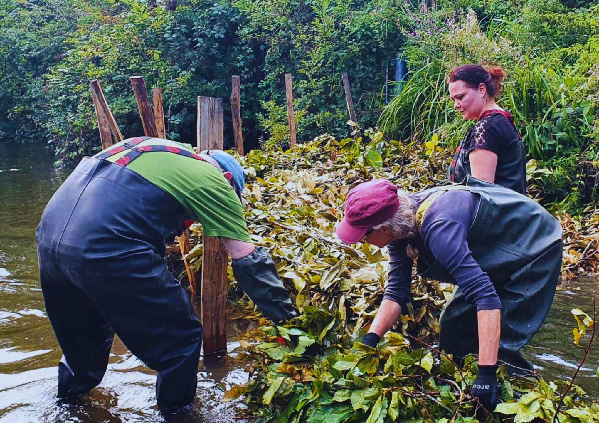
Two volunteers carrying out river restoration © South East Rivers Trust
Restoring rivers across London
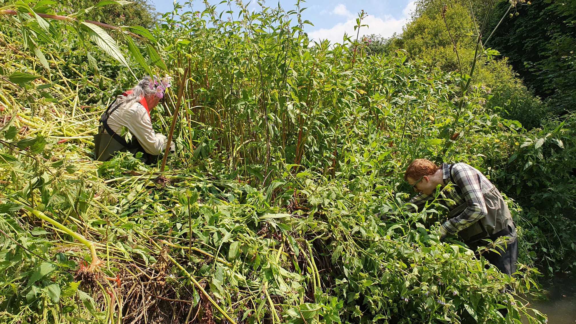
Across London’s catchments, our teams are working with partners and communities to bring rivers back to life. Examples include:
- River restoration at Richmond Green on the Wandle, where a 400m stretch of river is being reshaped to improve natural flow and create better habitat for wildlife.
- Planned channel improvements at Culvers Avenue, helping restore the river and support biodiversity.
- Ongoing habitat restoration along the Hogsmill, improving conditions for species including fish, water voles and invertebrates.
- Investigations along the middle Wandle through the Wandering Wandle project, exploring opportunities for future restoration.
- Weir easements at Snelling Weir and Hall Place on the River Cray, helping rivers flow more naturally and improving connectivity for wildlife.
These projects demonstrate how targeted river restoration can support the wider goals set out in the LNRS — creating healthier rivers that support wildlife, reduce flood risk and provide greener spaces for people.
A shared tool for nature recovery
The LNRS sits alongside the London Green Infrastructure Framework (LGIF) — a map-based tool that helps identify where green infrastructure such as wetlands, rivers and green spaces can deliver the greatest benefits for nature and communities.
Together, these tools provide a shared evidence base to help local authorities, developers, land managers and community groups identify opportunities for nature-based solutions across the capital.
By working together and using this shared data, London can accelerate action to restore habitats, support wildlife and create healthier environments for people.
Find out more
You can explore the strategy and interactive mapping tools here:
If you have any questions regarding the LNRS, please email [email protected]
Stay up to date
Sign up to our monthly newsletter and stay up to date with river news, projects and upcoming events in your local area.