Project overview
At the South East Rivers Trust, we’re always seeking ways to protect and restore our rivers. Recently, our team, guided by innovation and grounded in robust data, partnered with CGI to take on one of the UK’s most pressing ecological challenges — invasive Himalayan Balsam — using geospatial technology. The result? A smarter, more targeted approach to safeguarding biodiversity.
What is Himalayan Balsam and why does it matter?
Himalayan Balsam (HB) is widespread across England and Wales, particularly along riverbanks. Its seeds are carried by rivers and floodwaters, allowing it to spread quickly downstream.
While the plant’s pink flowers might look attractive, the impacts are severe:
- It outcompetes native plants, taking light, nutrients, and space.
- It dies back in winter, leaving bare soil that increases riverbank erosion and adds harmful sediment to rivers, damaging fish and invertebrate habitats.
- It destabilises riverbanks, which can also increase the risk of flooding when it blocks water flow.
Because Himalayan Balsam seeds only stay viable for around three years, repeated manual removal can be effective. However, reinfestation from upstream seeds is common — meaning we need to understand the whole catchment picture to make eradication work.
This makes Himalayan Balsam a priority invasive species, and tackling it is essential to restoring healthier rivers and biodiversity.
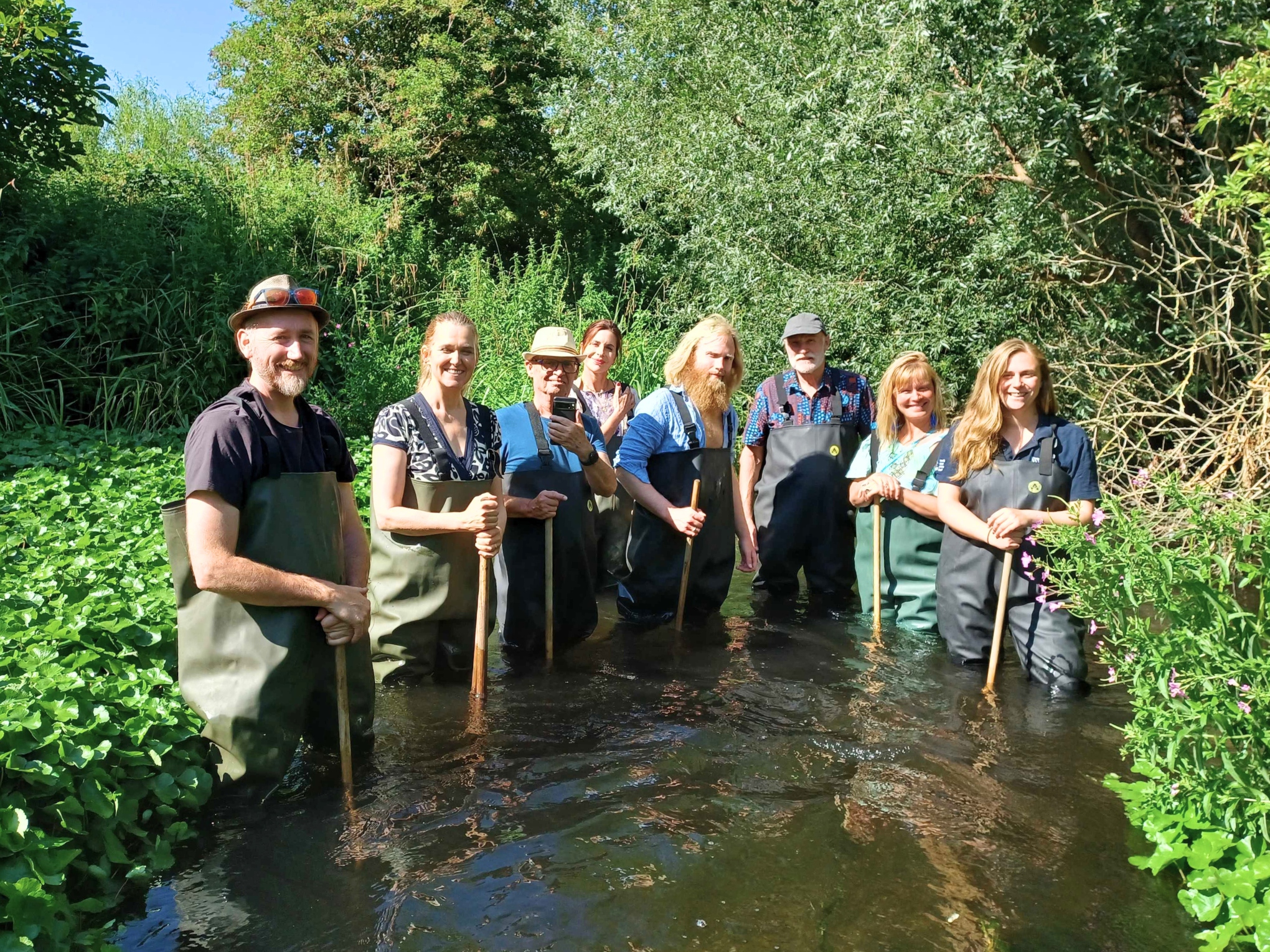
Volunteers removing Himalayan Balsam along Bonesgate Stream © South East Rivers Trust
How geospatial tech and AI help
Thanks to our partnership with CGI, we’re developing an AI-driven geospatial mapping tool to transform how we find and manage Himalayan Balsam.
Here’s how it works:
- Himalayan Balsam can be detected from UAV (drones) and satellite imagery using machine learning and AI models.
- Unique spectral signatures of the plant allow remote sensing (RS) technology to identify it from UAVs (drones), airborne platforms, or satellites.
- UAVs (drones) provide high-resolution local data, bridging the gap between ground surveys and satellite imagery. They can be customised for sensor type, angle, and timing — ideal for detecting Himalayan Balsam at critical stages.
- Citizen science data is used to provide crucial information to the models on where Himalayan Balsam has been positively identified.
The initial focus is on three catchments in the South East Rivers Trust area, with the aim to scale this project nationwide.

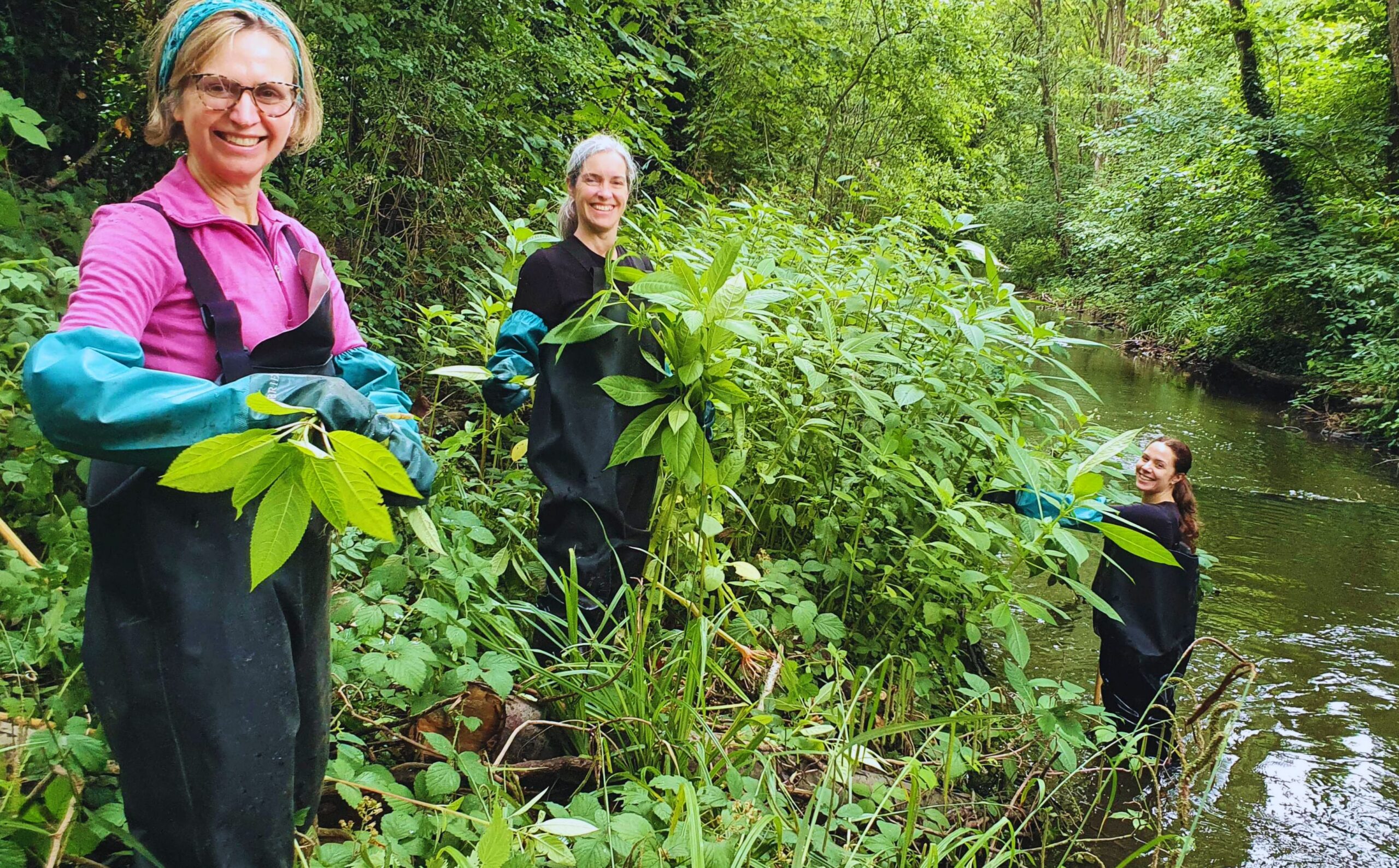
A volunteer taking part in a Himalayan Balsam removal event © South East Rivers Trust
Why this matters for nature and communities
This project brings multiple benefits for people and wildlife:
- Biodiversity protection – healthier habitats give native plants, insects, and fish a chance to thrive.
- Stronger riverbanks – preventing erosion reduces sediment pollution and helps safeguard against flooding.
- Smarter action – mapping hotspots ensures resources are targeted where they’ll have the biggest impact.
- Community involvement – citizen science means local people are part of the solution.
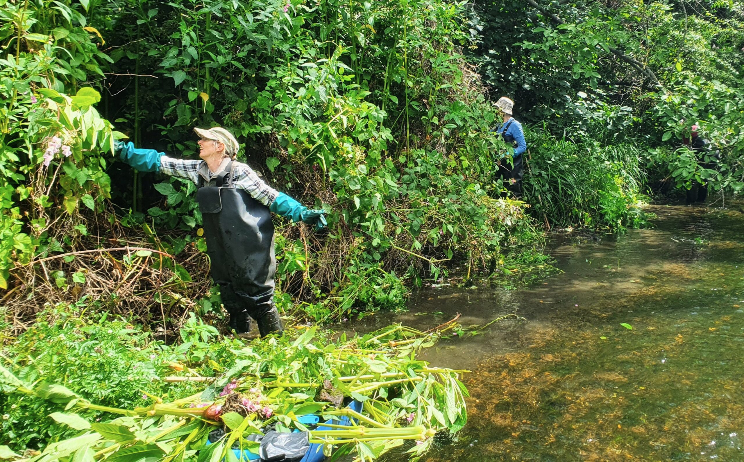
Volunteers clearing Himalayan Balsam during an event on Bonesgate Stream © South East Rivers Trust
Looking ahead
This is just the beginning. By combining advanced technology with local knowledge, we can manage invasive species like Himalayan Balsam more effectively than ever before.
At South East Rivers Trust, we believe innovation and nature restoration go hand in hand. Together, with the right tools and partnerships, we can protect rivers, restore biodiversity, and build resilience for the future.
Stay connected and make a difference
Want to help rivers thrive again? Sign up to our newsletter for the latest river restoration projects, volunteering opportunities, events, campaigns and ways to take action in your local area.