River Wey
The River Wey is a tributary of the Thames and was one of the first rivers in England to be made navigable.

About the river
The River Wey is formed of two branches – North Wey and South Wey. North Wey rises near Alton in Hampshire, passing through Upper Froyle, Bentley and Farnham. South Wey rises near Haslemere in West Sussex.
The two branches join at Tilford in Surrey, flowing towards Godalming and Guildford, passing through the Surrey Hills Area of Outstanding Natural Beauty and joining the Thames at Weybridge.
The South East Rivers Trust co-hosts the catchment partnership for the River Wey with the Surrey Wildlife Trust. Visit the dedicated catchment page for the most up to date information about work on this river system.
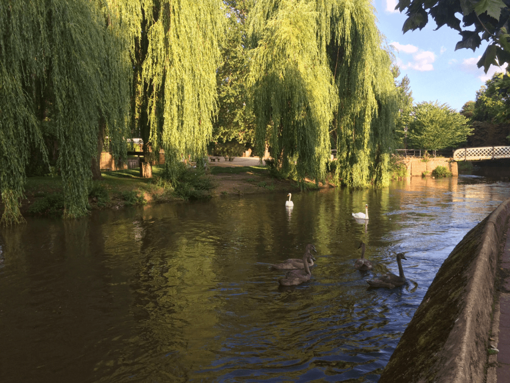 River Wey © Chris Steer
 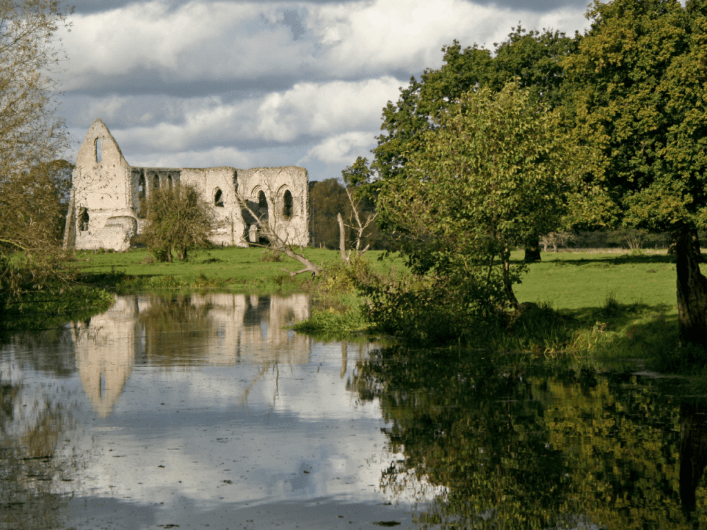 Waverley Abbey on River Wey © Simon Gurney
 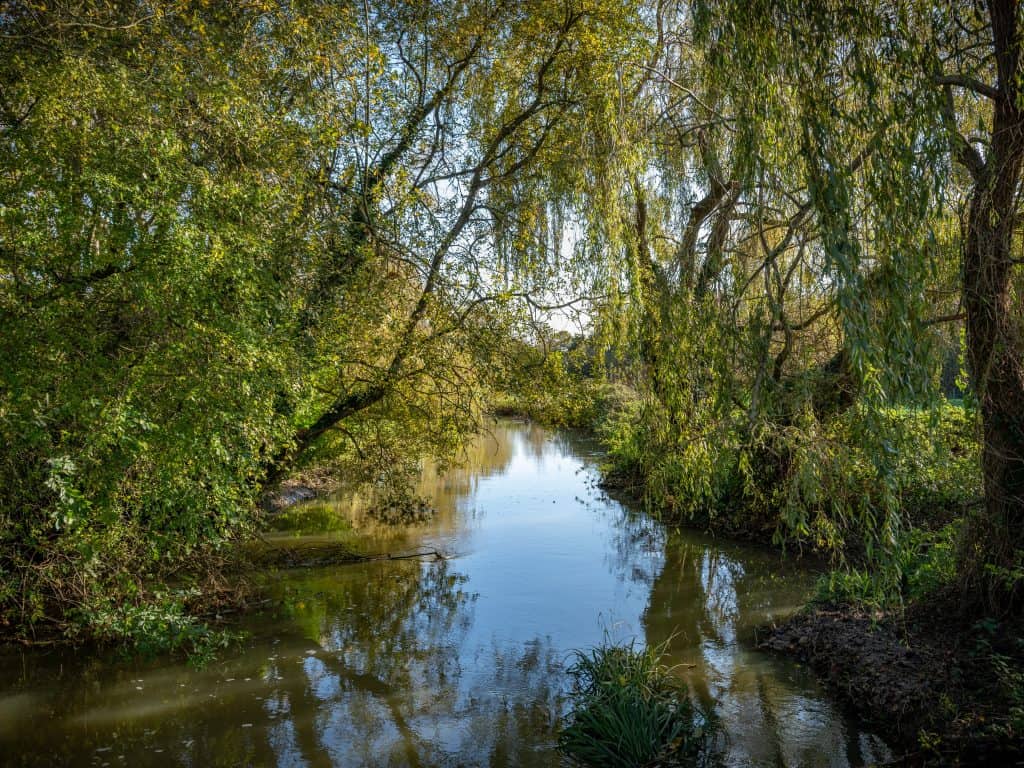 The River Wey at Radipole, Weymouth
 What makes it special?
Situated within the Surrey Hills Area of Outstanding Natural Beauty, the Wey Valley is a great landscape to explore and enjoy. The river passes through a variety of habitats including heathland, woodland and water meadow. Some areas are designated such as the Wey Valley Meadows which is a Site of Special Scientific Interest with a variety of species including snipe, lapwing and kingfisher breeding in the area.
Why not explore the River Wey by boat? The River Wey was one of the first British rivers to be made navigable and opened to barge traffic in 1653. A 20 mile navigable route between Godalming and the Thames was created as a highway to London for trade. Today, the National Trust manages the navigations as a leisure waterway and the towpath is a popular walking route. The National Trust visitor centre at Dapdune Wharf in Guildford brings to life the stories of this historic waterway.
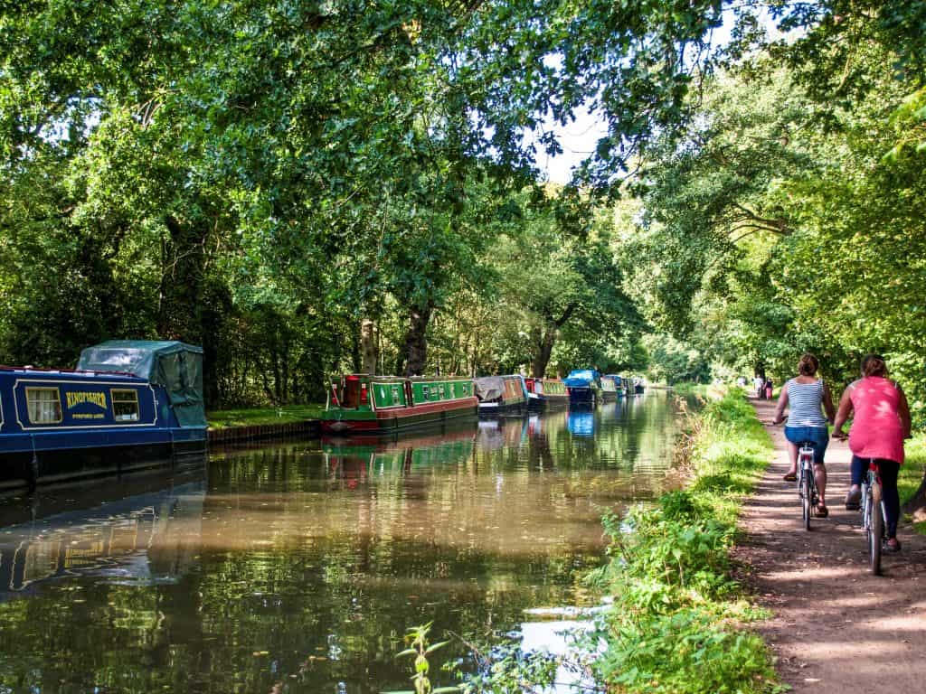 River Wey navigation
 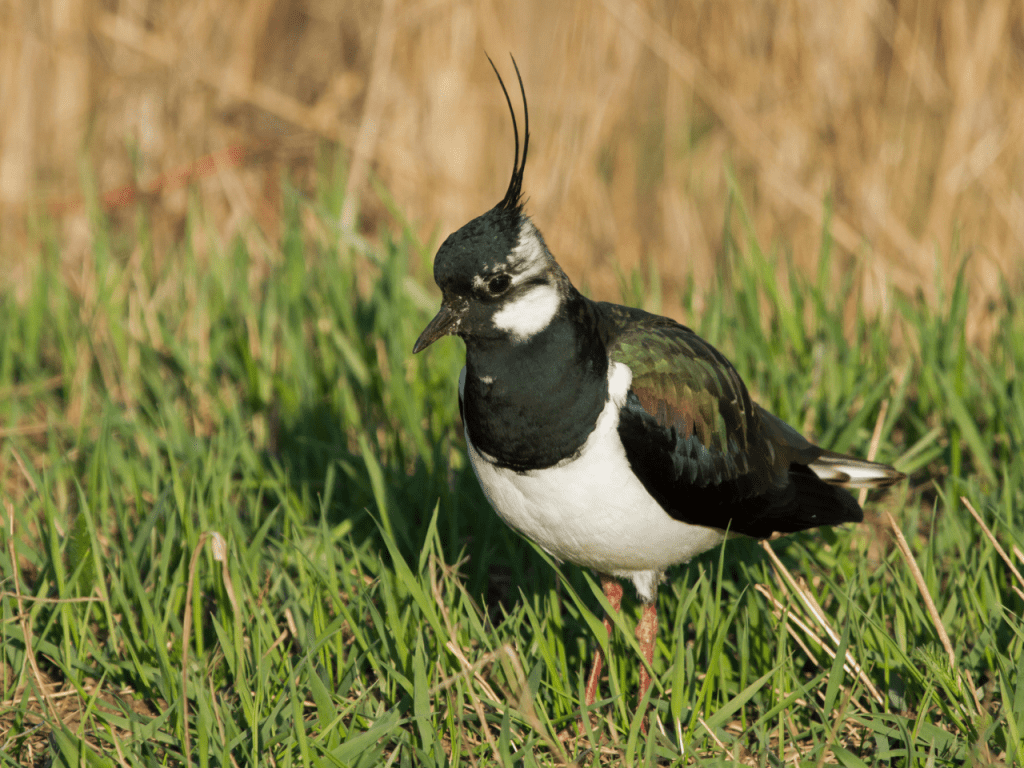 Lapwing
 Issues
How Healthy is the Wey?
Discover the latest work on the River Wey via the catchment partnership page.
Click to find out more