Lou Sykes, our Catchment Officer for the River Loddon, has recently recruited volunteers to undergo training for riverfly monitoring on this catchment for the first time. In this blog, she emphasises the importance of this monitoring, details what volunteers should be looking for and puts out a call for more volunteers across our wider river networks.
This year, the Loddon Catchment Partnership is focusing on investigating poor sources of water quality. We at the South East Rivers Trust (SERT) have conducted riverfly volunteer training to educate the public about freshwater invertebrates, as these creatures can serve as indicators of pollution.
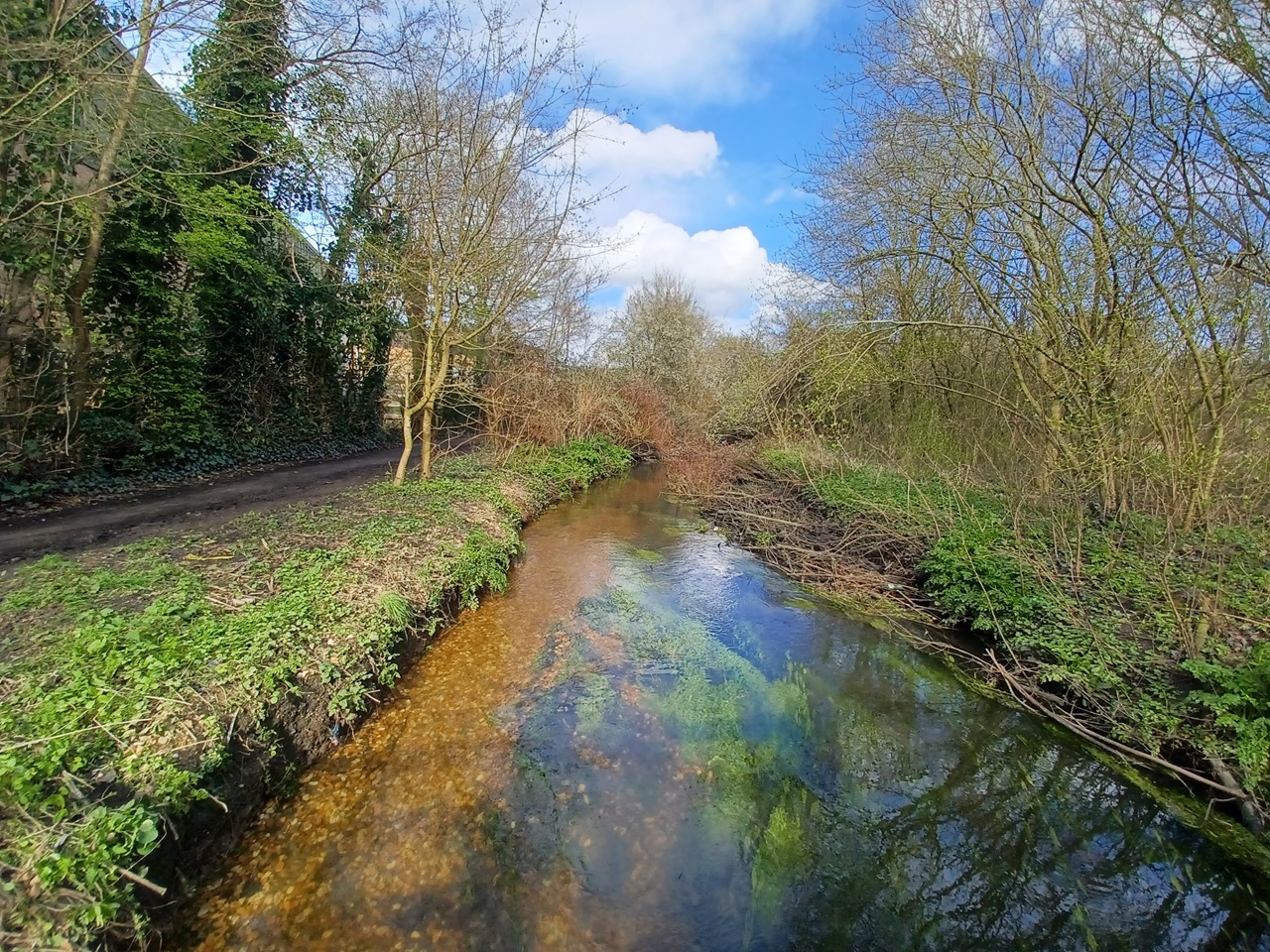
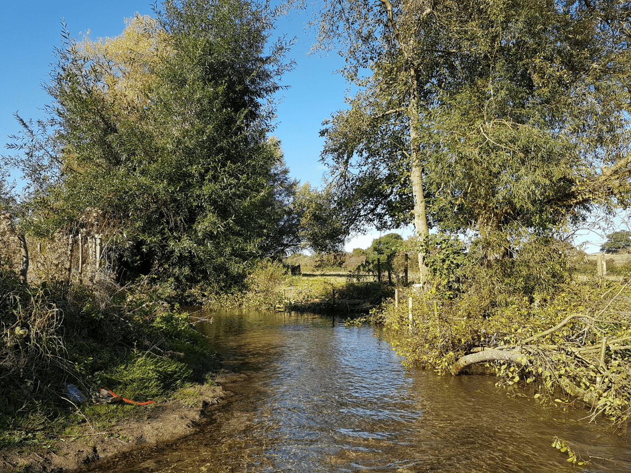
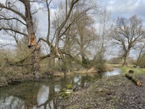
Twelve volunteers have completed the riverfly monitoring training and are now regularly conducting surveys on the upper Loddon near Basingstoke to initiate the riverfly regime in this area. They are now part of a nationwide initiative to assess water quality in rivers. By consistently monitoring the river, they can identify reductions in water quality and report potential pollution issues to the Environment Agency.
So, what are Riverflies?

They are tiny creatures that live in our rivers (hopefully!). Creatures such as mayfly have an evolutionary history going back hundreds of millions of years. They will spend most of their life in the water as nymphs or larvae feeding on plant life or algae.
They do important work, such as keeping things clean or stopping the build up of too much detritus.
Others are predatory and feed on other aquatic invertebrates. Some make cases from leaves, twigs, tiny pebbles and sand, acting as little underwater architects.
Others cling to rocks in faster moving waters. Some create little shelters in rocks and build little nets out of silk which they produce to catch food as it passes by.
Why are riverflies important?
Riverflies are often referred to as the canaries of our rivers as they are excellent biological indicators for monitoring water quality. The canaries reference comes from an era when mining for coal was a prevalent industry in Britain: canaries would be sent down mines before humans to test how toxic the air was. If the birds died, it was not safe for minors to enter.
Similarly, riverflies are sensitive to pollution, so finding them in the water gives us an indication of the state of the river. With Rivers Trust statistics showing that only 15% of rivers in England are rated in good overall health, riverfly monitoring is a valuable way to test the continued health of a stretch of river.

Riverflies live comparatively long lives as nymphs or larvae on the riverbed and are relatively localised within the waterway. The types of riverfly you can find vary based on habitat diversity, flow rate, water level and water quality, so you can tell how your river is functioning based on the groups that you find.
Monitoring for riverflies is a nationally important citizen science initiative (known as RMI), developed to monitor the health of rivers and to detect potential pollution events.
The Riverfly Partnership is a network of organisations, representing a wider range of stakeholders from anglers and water course managers to conservationists and relevant authorities that are looking to protect the water quality of our rivers and conserve riverfly habitats.
How do we survey for riverflies and what are we looking for?
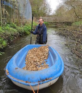
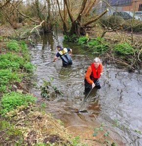
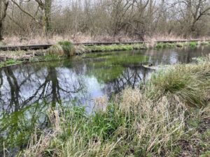
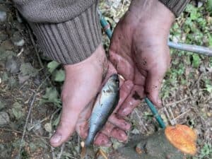
We survey for riverflies using a kick-sweep sample. Essentially, this involves kitting up in a pair of waders, grabbing a net and getting into the stream to ‘kick’ the riverbed and disturb the gravels to knock invertebrates living on them into your net. Your net is also swept through submerged vegetation to capture any invertebrates living in those, too. These, plus a hand search of large rocks or any other items that can’t make it into your net (yes that does occasionally mean the odd shopping trolley) make up the sample you look at.
This goes in a tray on the bank to be analysed, looking to estimate numbers of three key groups of riverflies: the up-wing flies or mayflys (Ephemeroptera), caddisflies or sedges (Trichoptera), and stoneflies (Plecoptera). We also assign freshwater shrimp (Gammarus) to this category too.
What’s next? Sign up to help!

Having empowered our new volunteers on the Loddon, we are looking to expand and recruit more people to help monitor the health of rivers.
We have already lined up more training later this summer, for another group of volunteers on the Loddon catchment, giving more people the thrill of knowing they are contributing to vital data.
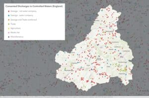
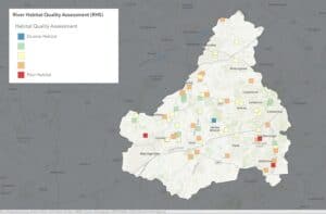
But we would like to know if you would like to get involved, across our 12 catchments (click through to a map to find your local river), which covers an area from Reading to Dover and down to Hastings.
Would you like to know more about the creepy crawlies living in your local river and what they show with regards to water quality? Could you spend a few hours each month monitoring a stretch of river?
We are interested in building a picture of potential volunteers, for whom we can design opportunities. Please get in touch on the below form to register your interest, so that we can understand how many people might want to be trained as riverfly monitors and where they are from.