About the Kentish Stour and River Dour
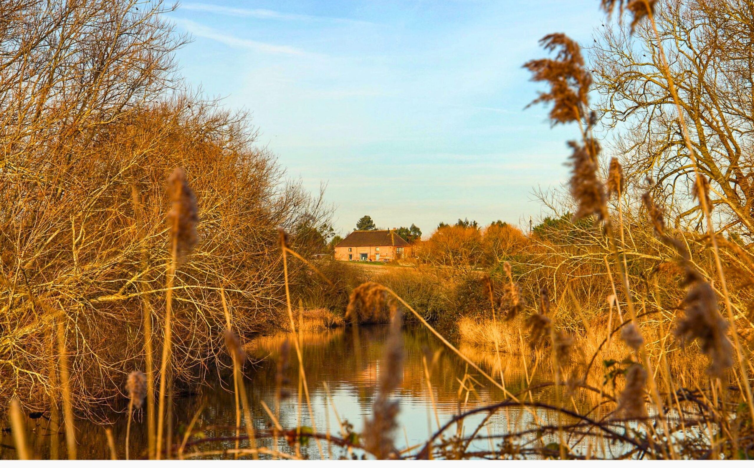
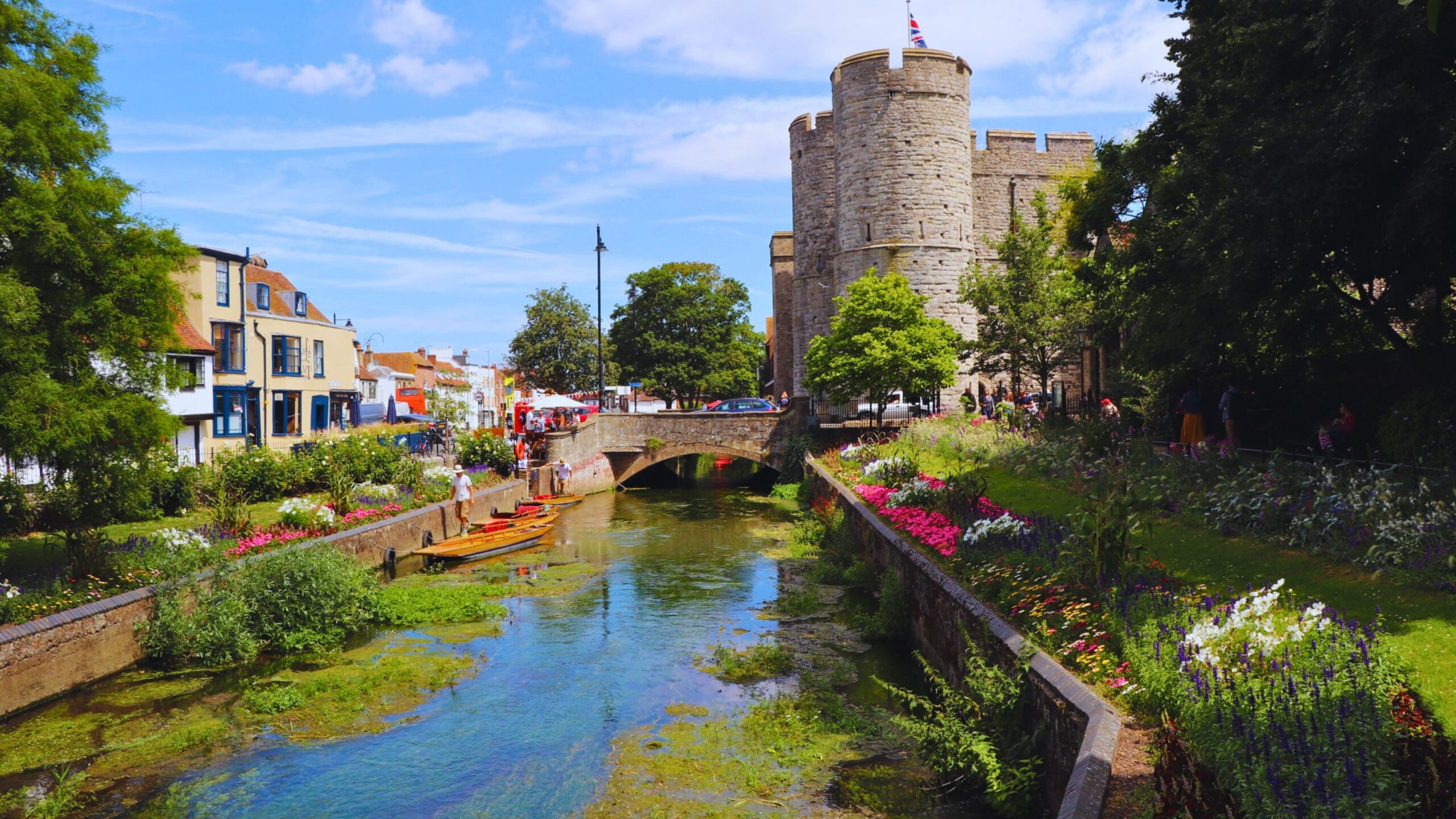
The Kentish Stour rises from the Greensand Ridge before flowing through Ashford, the North Downs and the historic city of Canterbury. From there, the river becomes tidal and continues towards Pegwell Bay near Sandwich, where it meets the sea.
The wider Stour river network includes several important tributaries, including the East Stour, Little Stour, Nailbourne and Sarre Penn. The Little Stour and Nailbourne are chalk streams, with the Nailbourne also known as a winterbourne because it only flows when chalk groundwater levels are high enough to feed its source.
The River Dour is also part of the Stour river system. It is a short chalk stream rising in Watersend in Temple Ewell before flowing through Kearsney, River and Buckland. It then passes through Dover and reaches the English Channel at Wellington Dock in Dover Harbour.
Together, these rivers connect rural landscapes, urban communities, historic places and important habitats across East Kent.
Why the Kentish Stour and River Dour matter
The Kentish Stour has played an important role in England’s history, connecting Canterbury with mainland Europe since Roman times. Its rivers and tributaries have also supported industries such as paper, flour and energy through historic watermills.
The catchment includes nationally and internationally important habitats. Stodmarsh National Nature Reserve is an important wetland area and home to the largest reed bed in the South East, supporting a wide range of birdlife and wetland species.
The Little Stour, Nailbourne and River Dour are chalk streams, one of the world’s rarest freshwater habitats. These rivers are fed by chalk-filtered water and can support wildlife including brown trout, mayfly, bullhead fish, kingfishers and European eel.
The River Dour is especially important as an urban chalk stream. Although it is only four miles long, it supports a rich mix of wildlife and has a long connection with Dover’s history, from its former natural harbour to its historic mills.
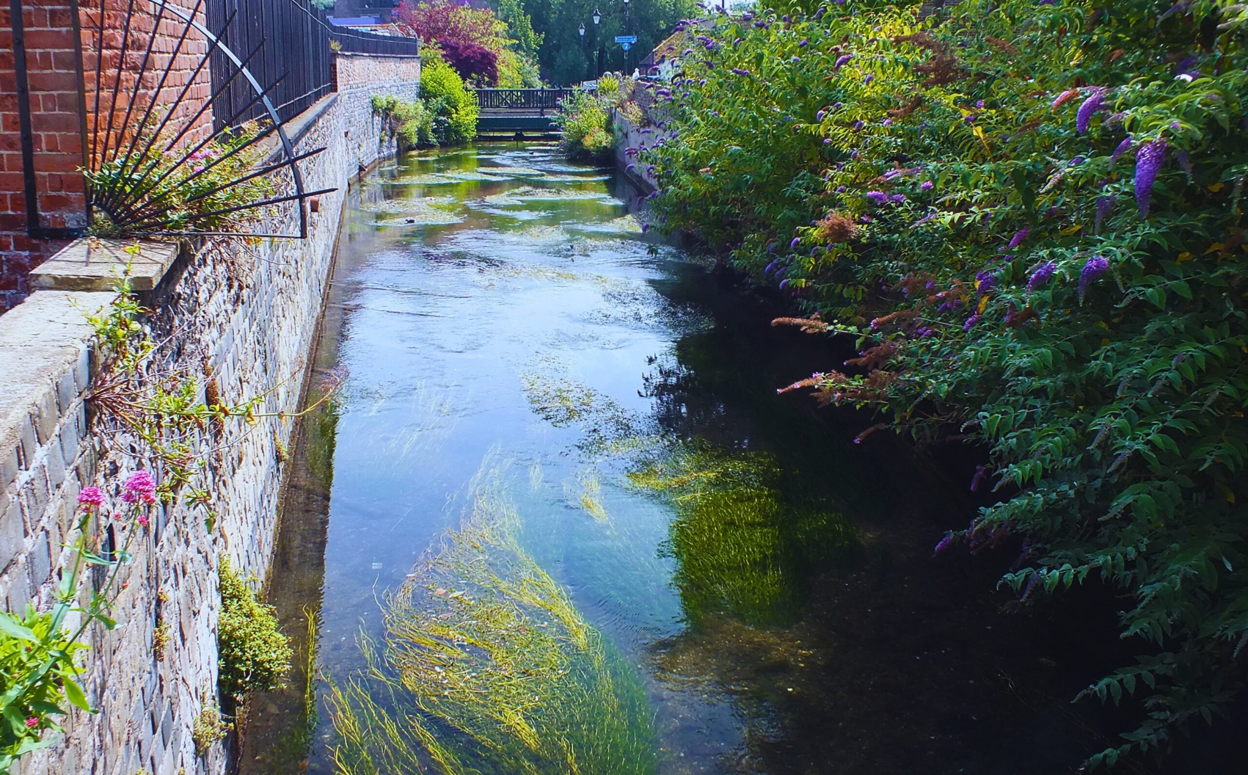
The River Dour, an urban chalk stream © South East Rivers Trust
Challenges facing the catchment
The Kentish Stour and River Dour face pressures from pollution, habitat loss, flooding, drought and impacts on fisheries.
These challenges affect water quality, wildlife and the natural processes that help rivers function well. Chalk streams are especially sensitive to changes in water quality, flow and habitat condition.
By working across the whole catchment, we can help restore habitats, improve river health and support a more resilient future for rivers, wildlife and local communities.
Our work in the Kentish Stour and River Dour catchment
We co-host the Kentish Stour Catchment Partnership with the Kentish Stour Countryside Partnership and are part of partnership work across the wider river network, including the River Dour.
Our work focuses on improving river habitats, supporting chalk stream recovery, tackling pollution, improving resilience to flooding and drought, and helping communities connect with their local rivers.
Explore the Kentish Stour and River Dour storymaps
Learn more about the Kentish Stour and River Dour through our partnership storymaps. Explore each catchment, the challenges these rivers face and the work being delivered with partners to restore them for people and wildlife.