Gatwick Airport Natural Flood Management
Working with nature across the Upper Mole catchment to reduce flood risk, improve water quality and create healthier habitats for wildlife and communities.
If you’ve spotted pollution or an environmental problem on a waterway, please report it directly to the Environment Agency via GOV.UK or call their 24/7 incident hotline on 0800 80 70 60.
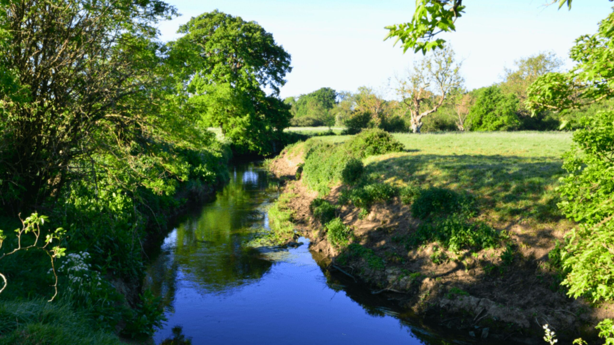
The River Mole flows from West Sussex through Surrey to the Thames, connecting towns, countryside and important wildlife habitats. We’re working with partners to restore this diverse river system for people and nature.
The River Mole rises to the west of Crawley in West Sussex before flowing north through Surrey and joining the River Thames at Molesey, opposite Hampton Court Palace.
In its upper reaches, the river is fed by an extensive network of tributaries, including the Gatwick Stream, Stanford Brook and Burstow Stream.
The Mole then flows through and near communities including Horley, Dorking, Leatherhead and Esher. Along its journey, it passes through historic and wildlife-rich landscapes such as Norbury Park, Nutfield Marsh and the Surrey Hills National Landscape.
Together, the river and its tributaries form a diverse catchment of rural landscapes, towns, woodland, wetlands and important green spaces.
The River Mole is known for the striking landscape around Box Hill, where the river has cut through the North Downs to create the Mole Gap.
The river’s distinctive geology also creates swallow holes. During periods of low flow, some water can disappear underground through openings in the chalk before returning to the river further downstream. This unusual feature may have helped inspire the river’s name.
The Mole and its surrounding habitats support a wide range of plants and wildlife. It also makes an important contribution to the ecological and landscape value of protected places across the catchment.
The river provides opportunities for walking, angling, kayaking and enjoying nature. The Mole Gap Trail follows the river between Leatherhead and Dorking, giving people a chance to explore the river and surrounding countryside.
The River Mole faces pressures from pollution, modified and degraded habitats, flooding and impacts on fish populations.
Urban development, transport infrastructure and changes in land use can affect how quickly water reaches the river and what it carries with it. These pressures can influence water quality, habitats and flood risk across the catchment.
By working across the whole river system, we can restore habitats, improve water quality and help the landscape slow, store and clean water more naturally.
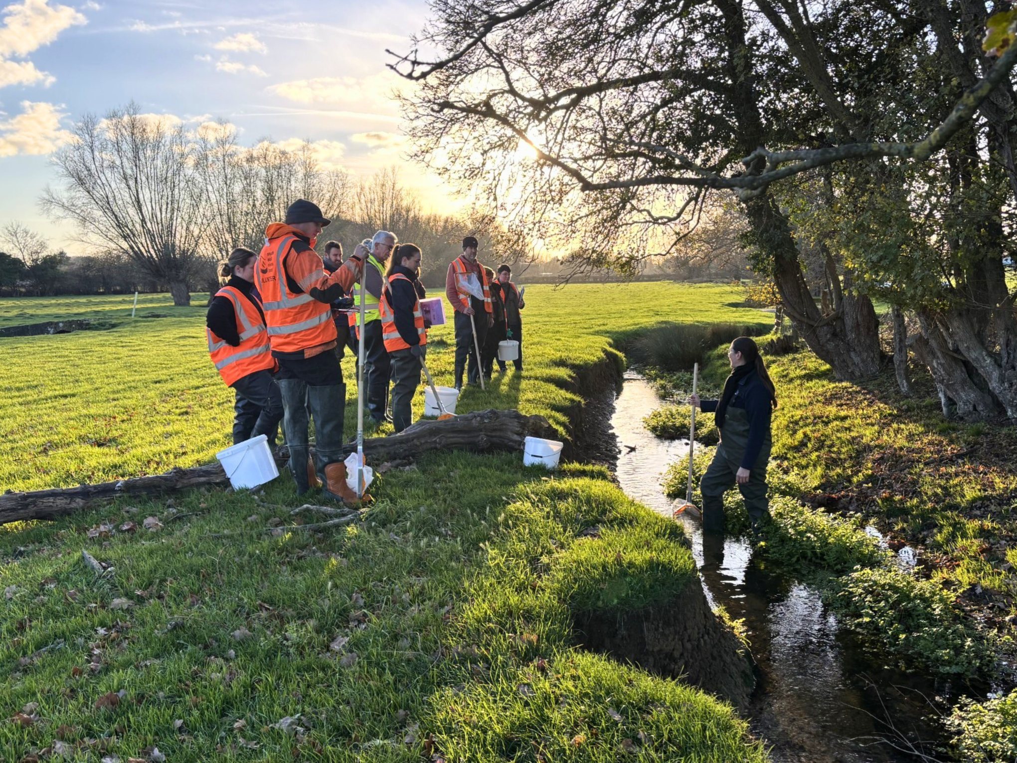
We co-host the River Mole Catchment Partnership with Surrey Wildlife Trust, bringing together organisations and stakeholders with an interest in the river’s health.
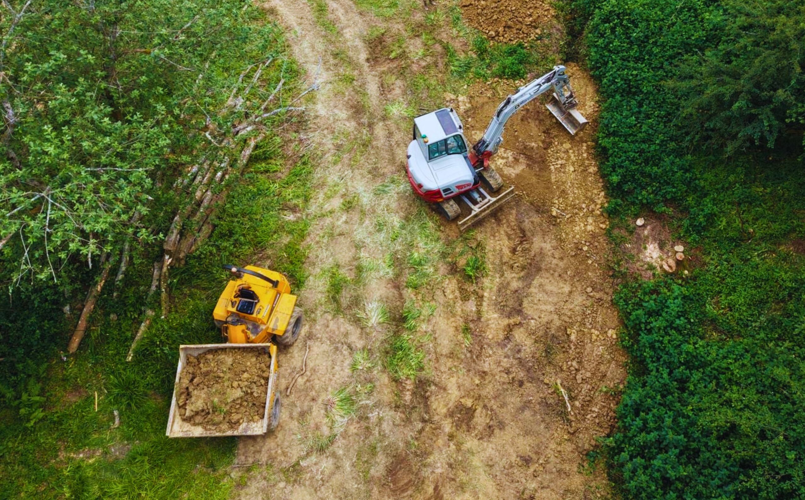
Our work across the catchment includes restoring rivers and wetlands, improving habitats, supporting fish passage, reducing pollution and using natural processes to build resilience to flooding.
We also work with landowners, communities and volunteers to collect evidence, develop projects and take practical action for the River Mole and its tributaries.
Explore the River Mole catchment, learn about the pressures affecting its rivers and discover how organisations, landowners and communities are working together to restore it for people and wildlife.